
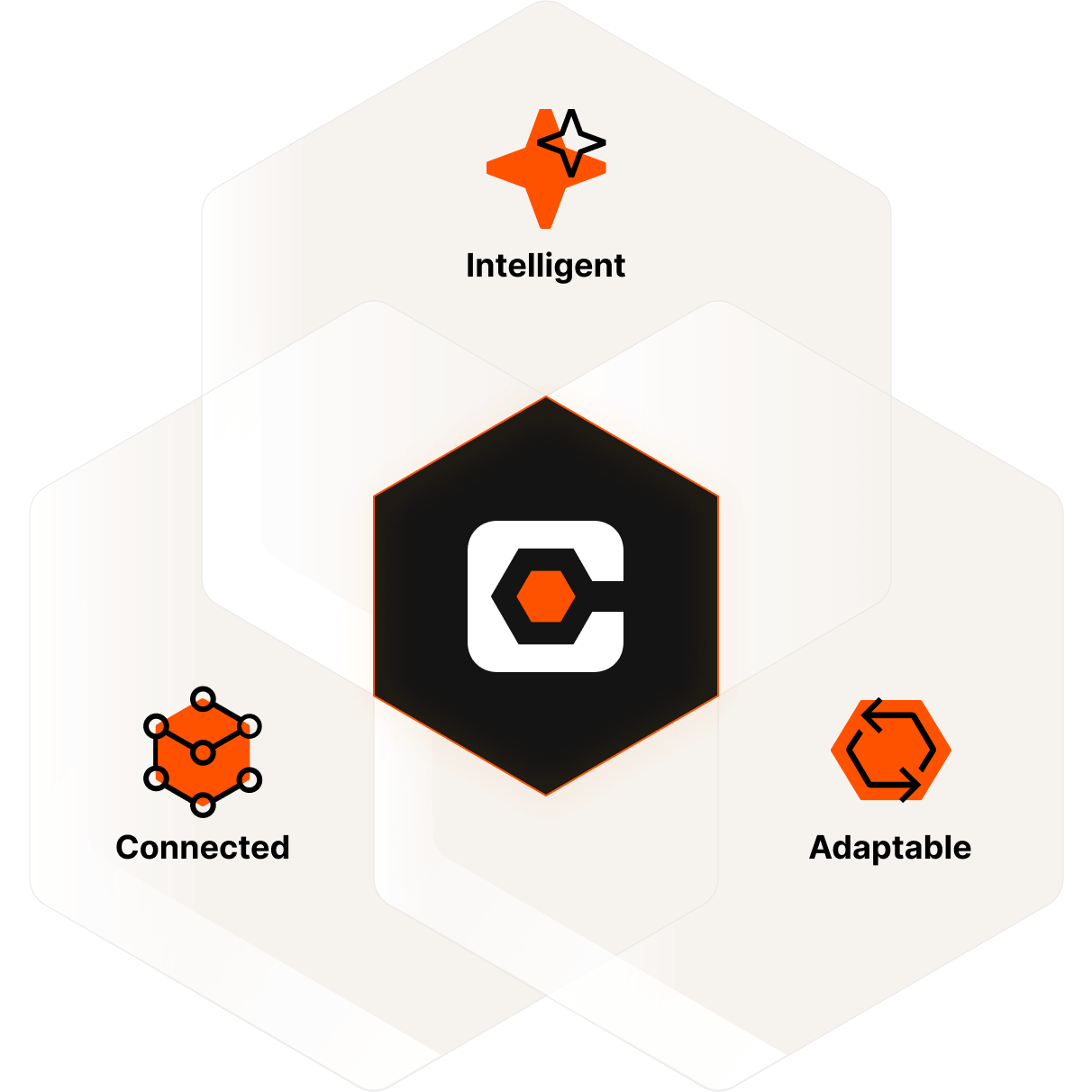
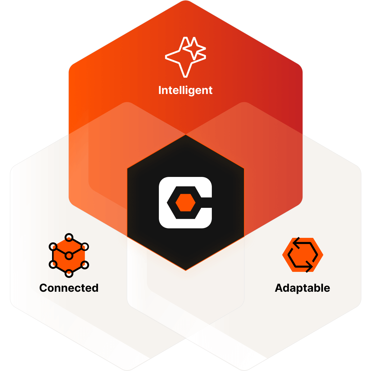
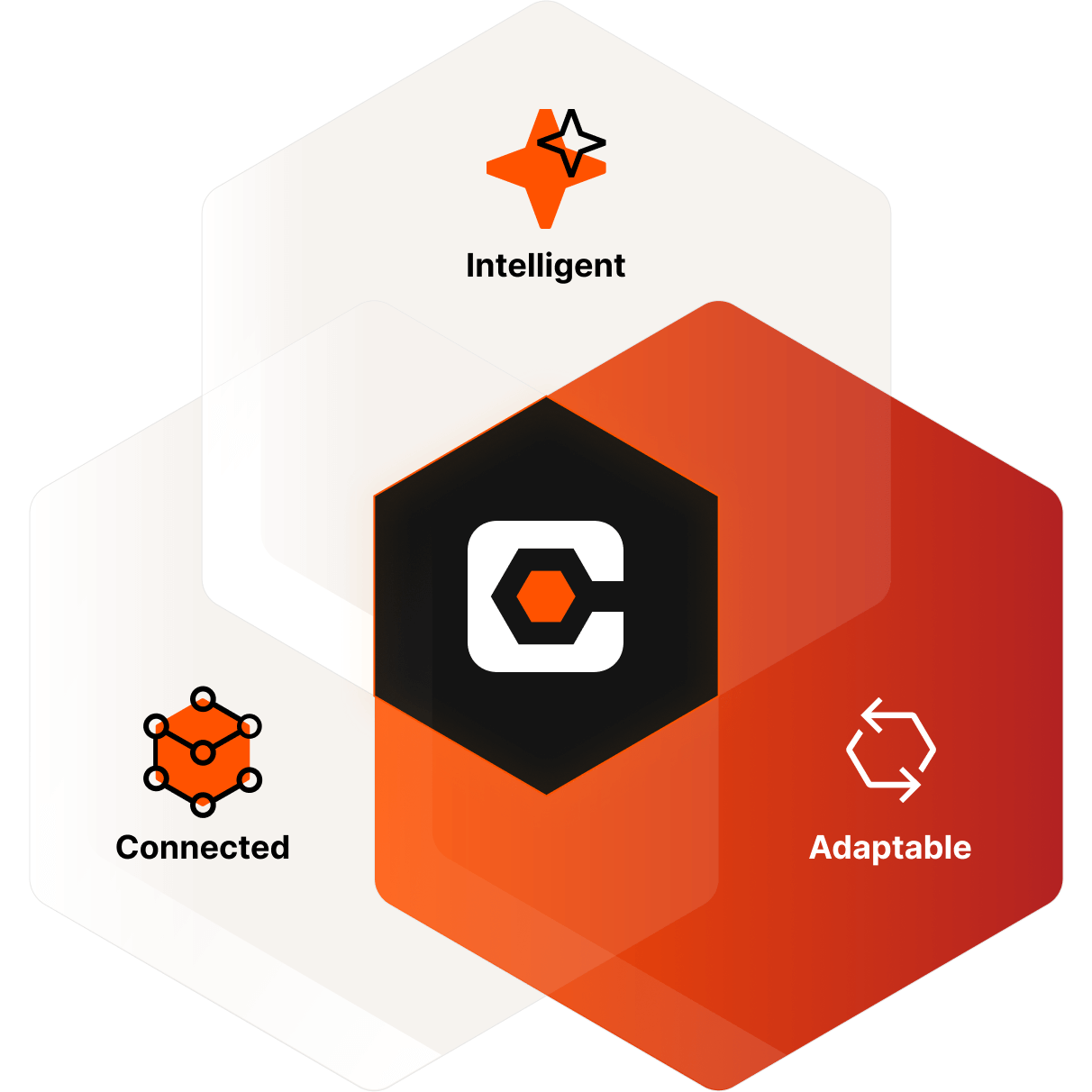
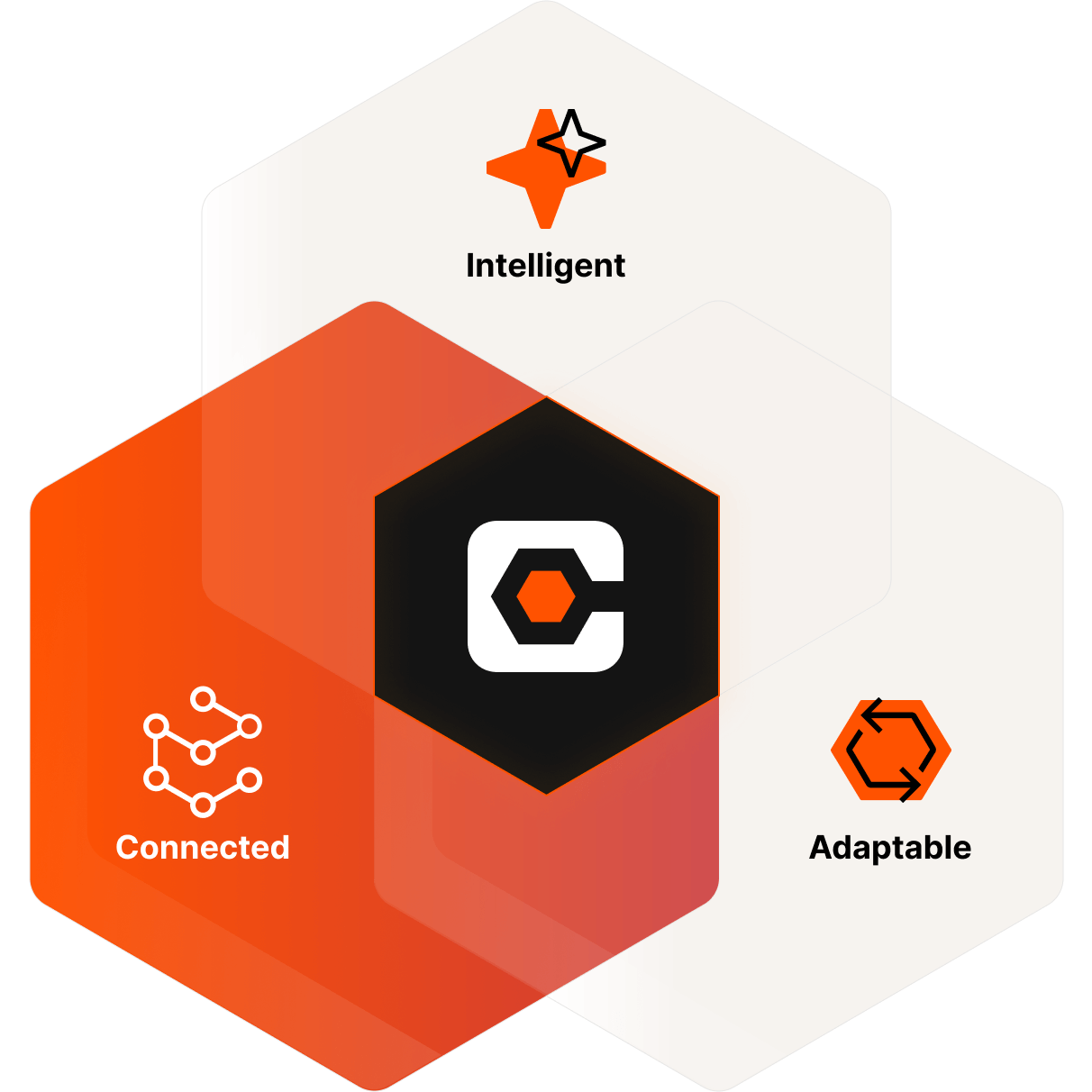
Powered by Procore Helix
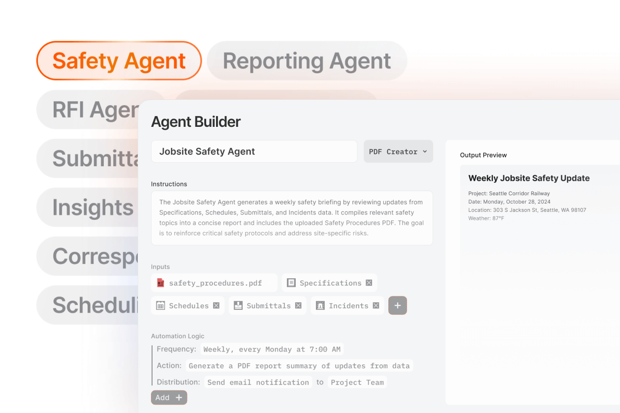
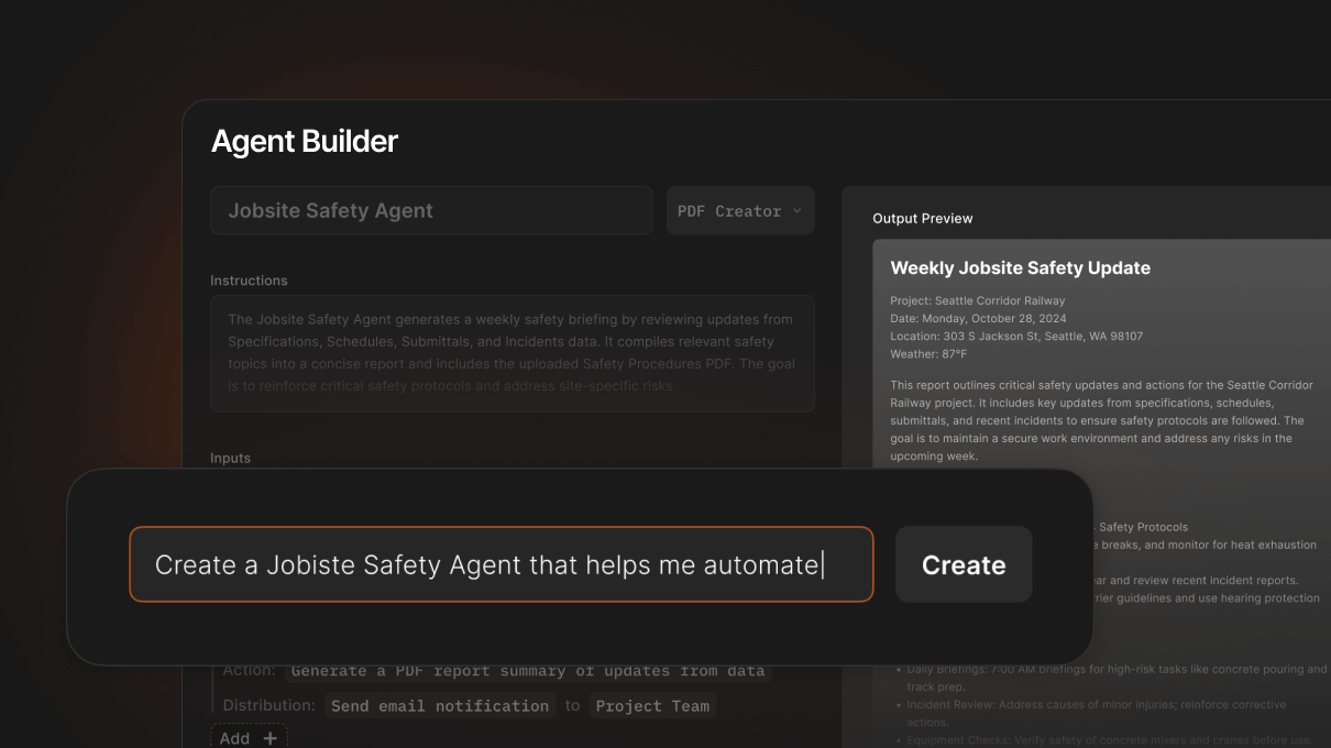
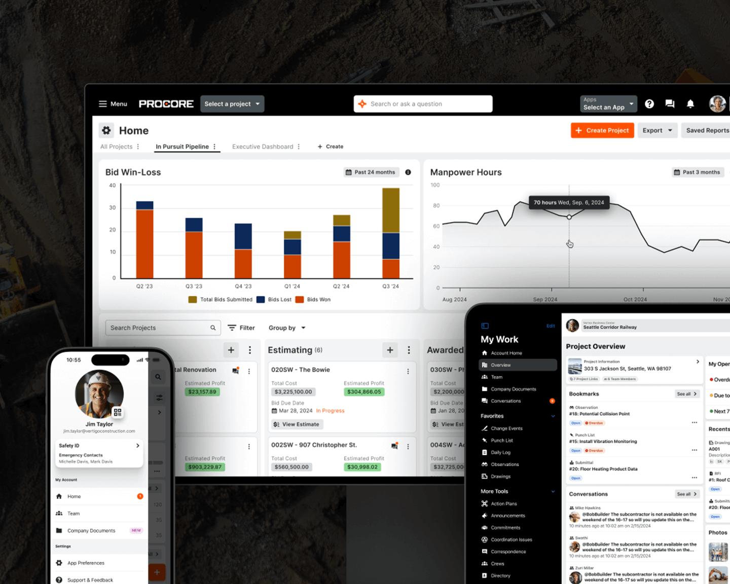
Leverage Procore Assist and AI Agents for powerful insights and automation
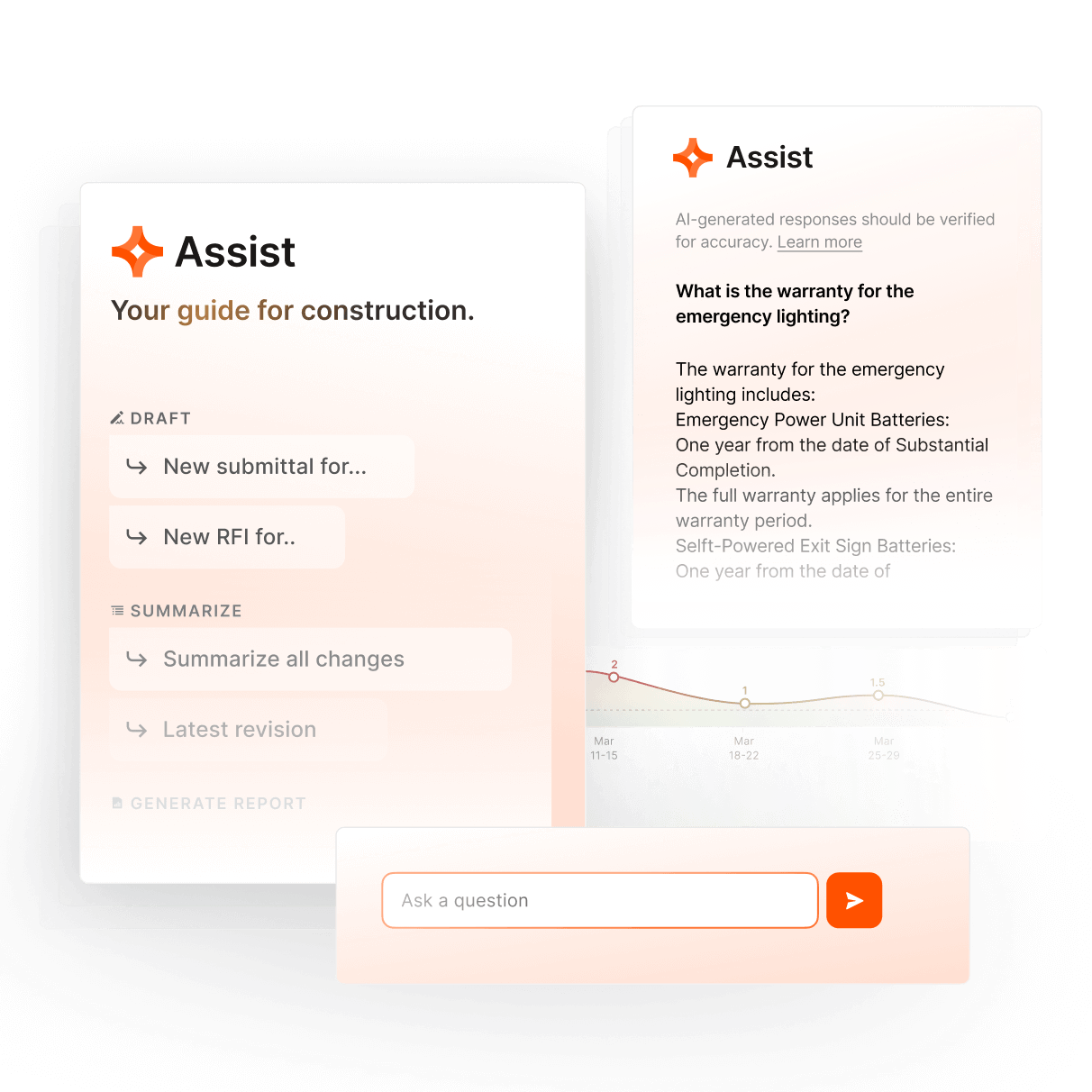
With Procore Assist, easily search for what you need, ask questions for direct answers, get access to AI insights to support better decision-making, and automate tasks with AI Agents.