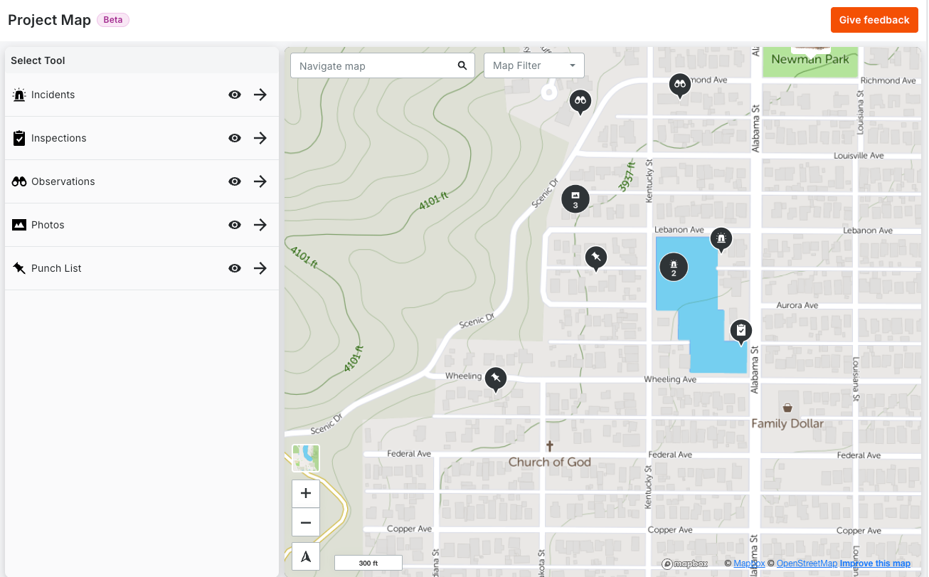
We’ve updated the Project Map (Open Beta) and Photos on Map (GA) to deliver a faster, more immersive spatial experience. You can now view multiple tool types simultaneously on the Project Map—instantly identifying work with unique icons and eliminating the need to toggle between single views.
Key Enhancements: - Unified Visibility: See all tool types together or toggle specific ones on/off to focus on what matters most—your preferences are automatically saved. - Improved Navigation: Searching for an address now places a temporary marker at the center location; simply click to view the full address or clear the search to remove it. - Flexible Coordinates: View and copy location data in your preferred format, now supporting Degrees, Minutes, and Seconds (DMS) alongside standard Latitude/Longitude.